SOLD! for $4,392.00.
(Note: Prices realized include a buyer's premium.)
If you have items like this you wish to consign, click here for more information:
Selling with Case- Low Estimate: $350.00
- High Estimate: $450.00
- Hammer Price: $3,600.00
- Share this:
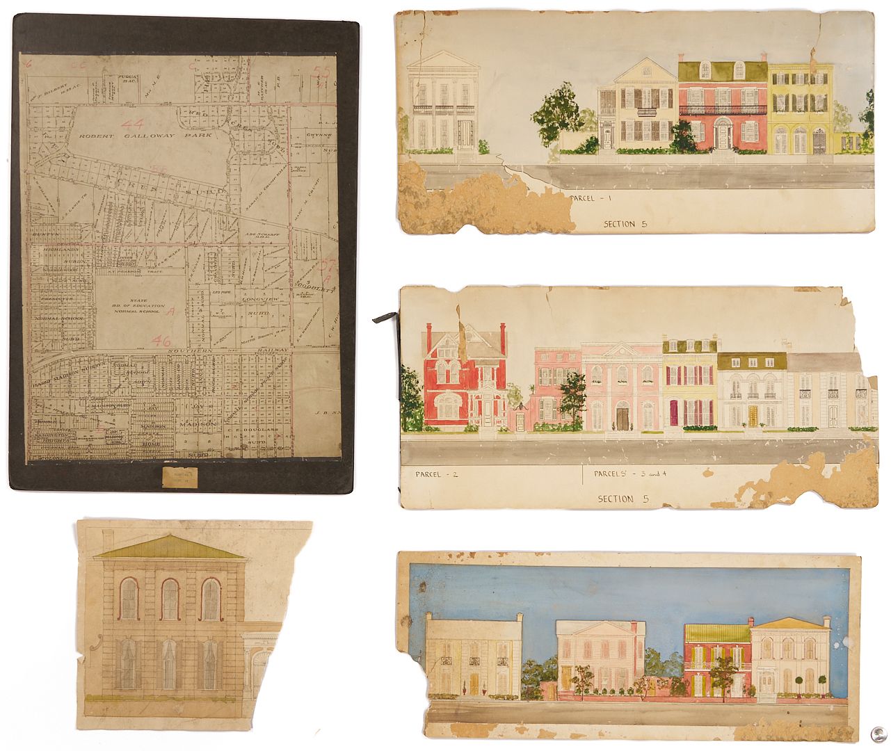
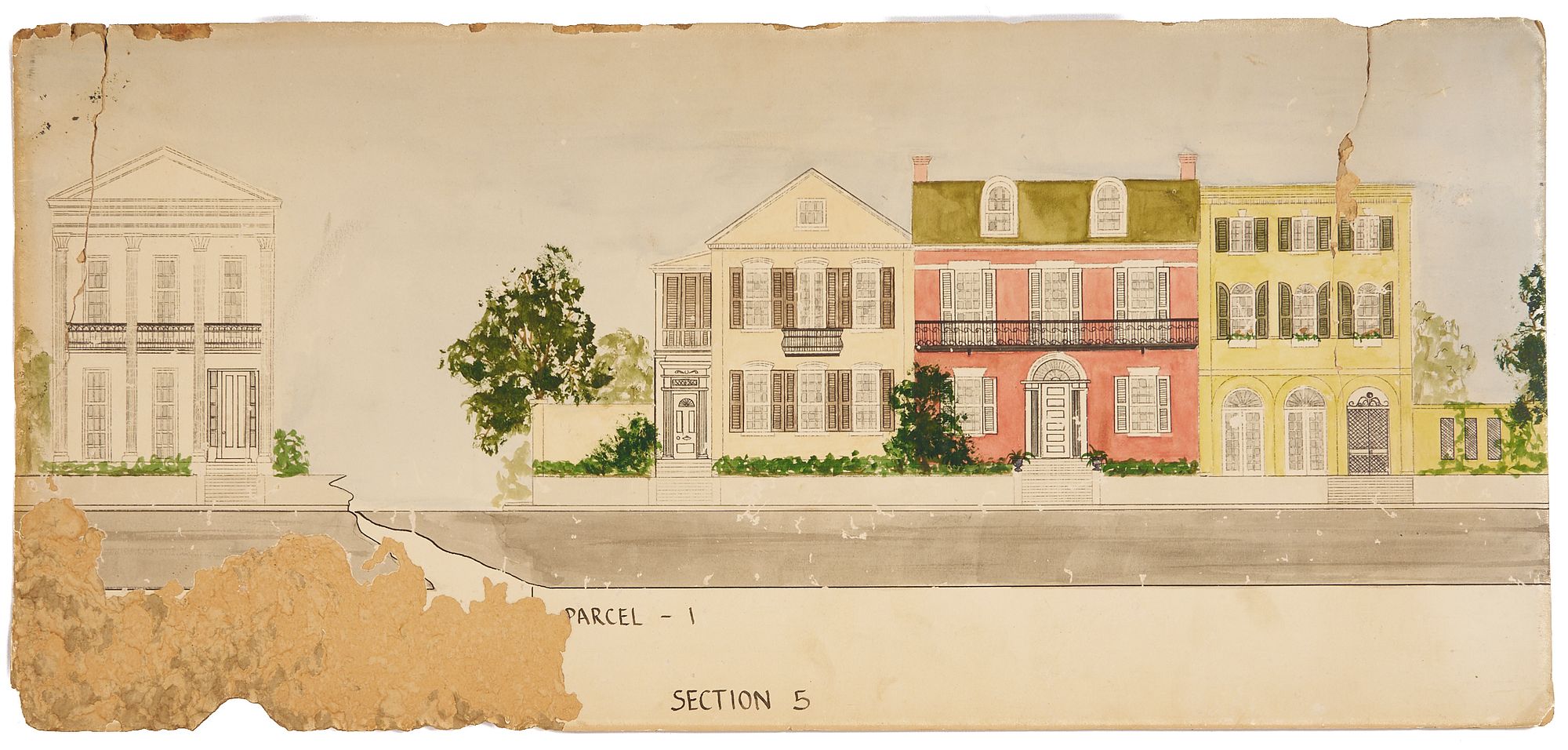
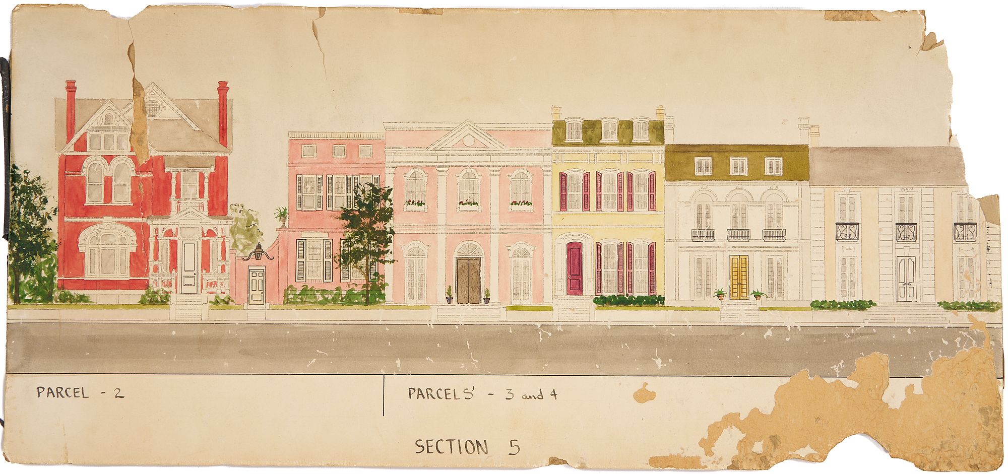
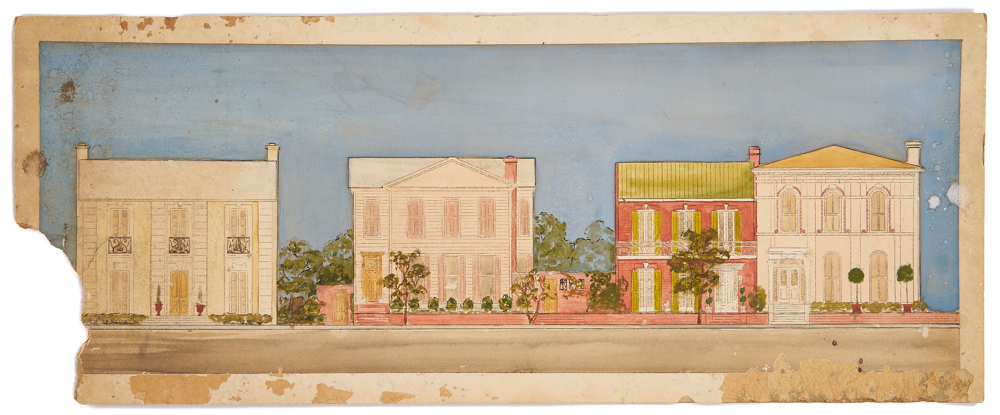
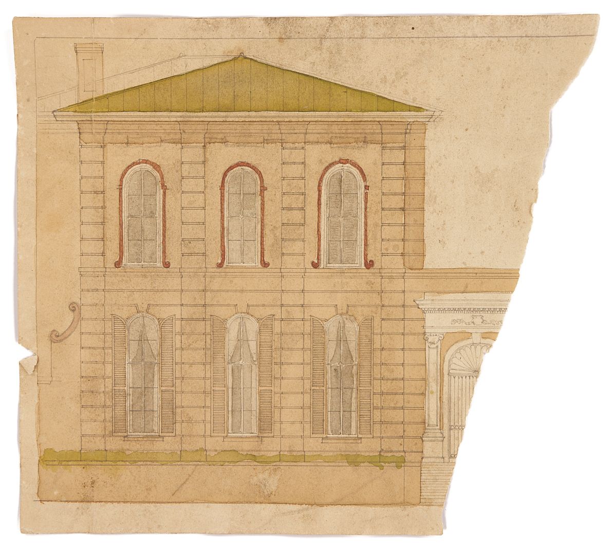
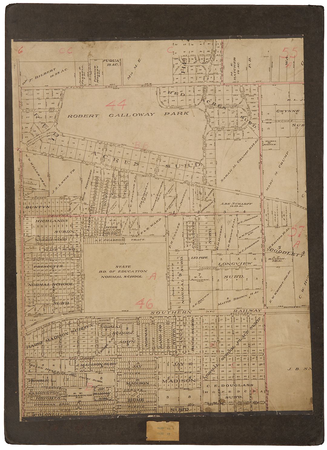
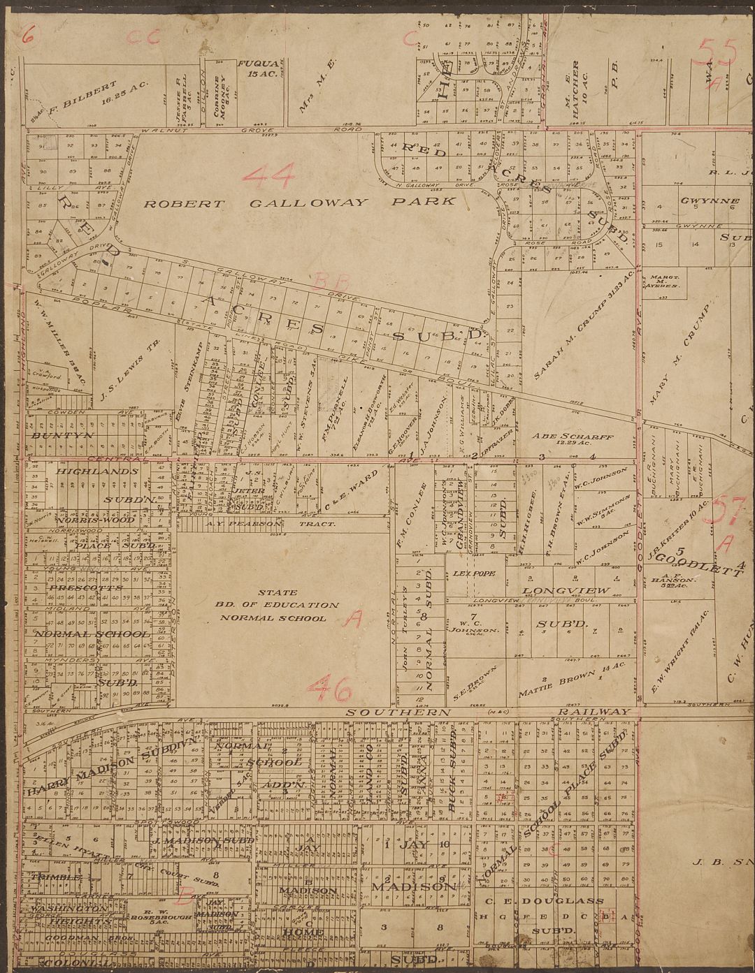
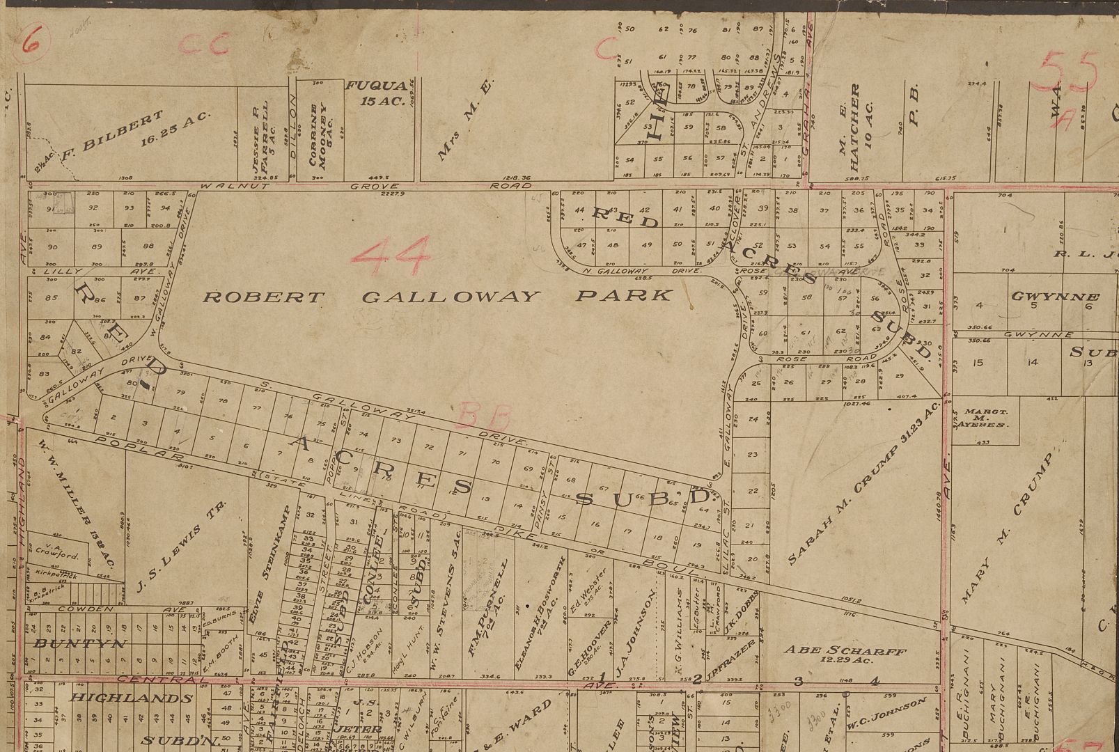
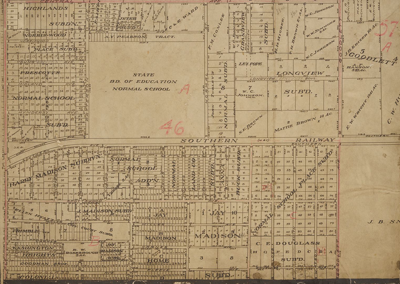
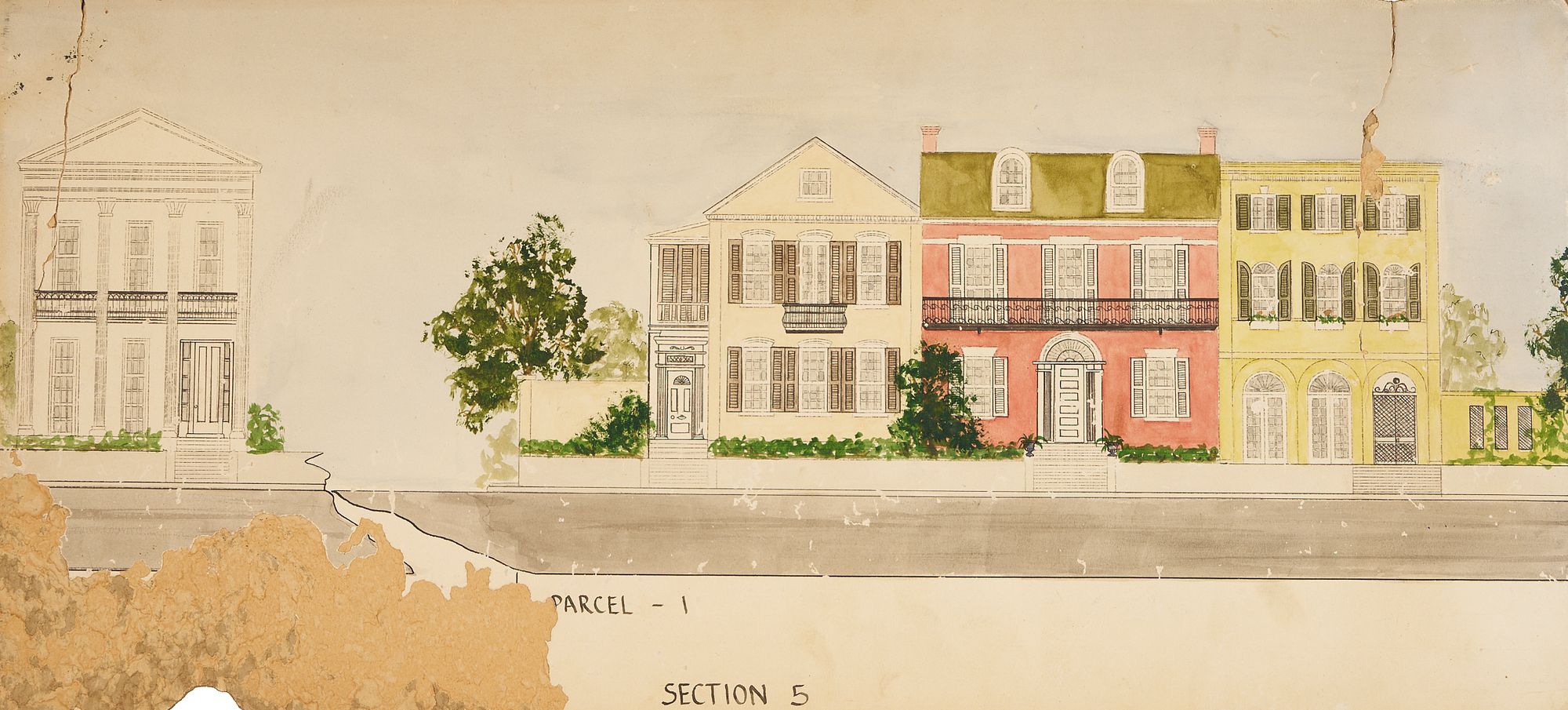
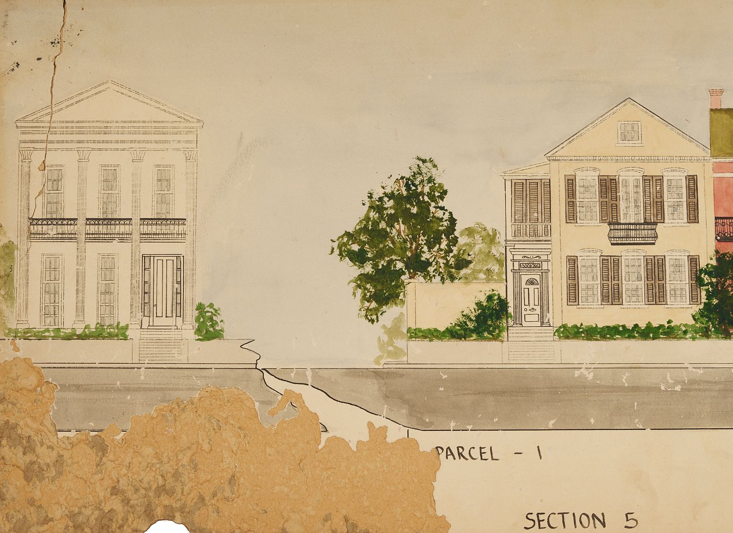
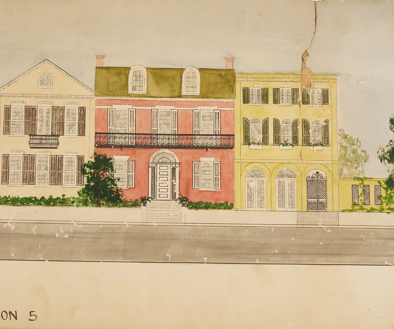
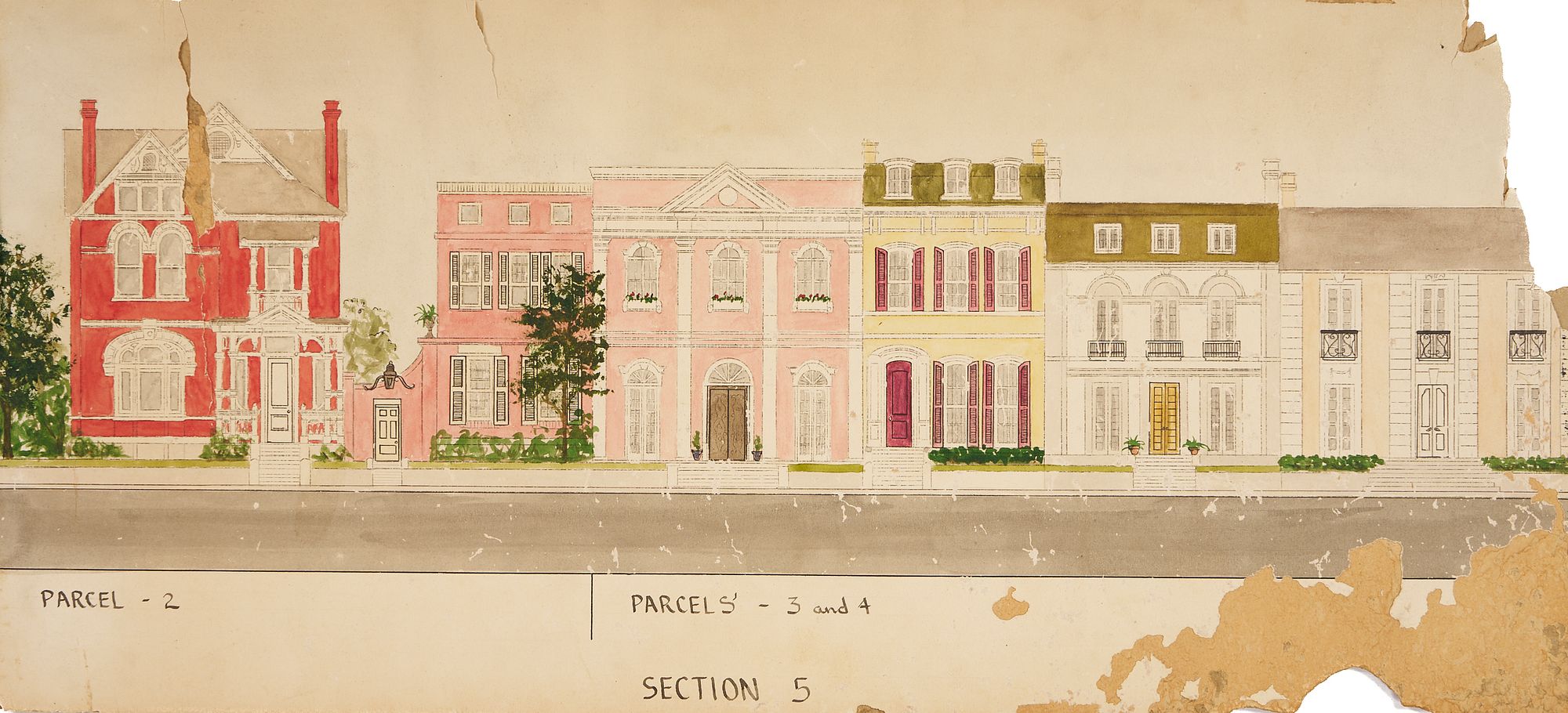
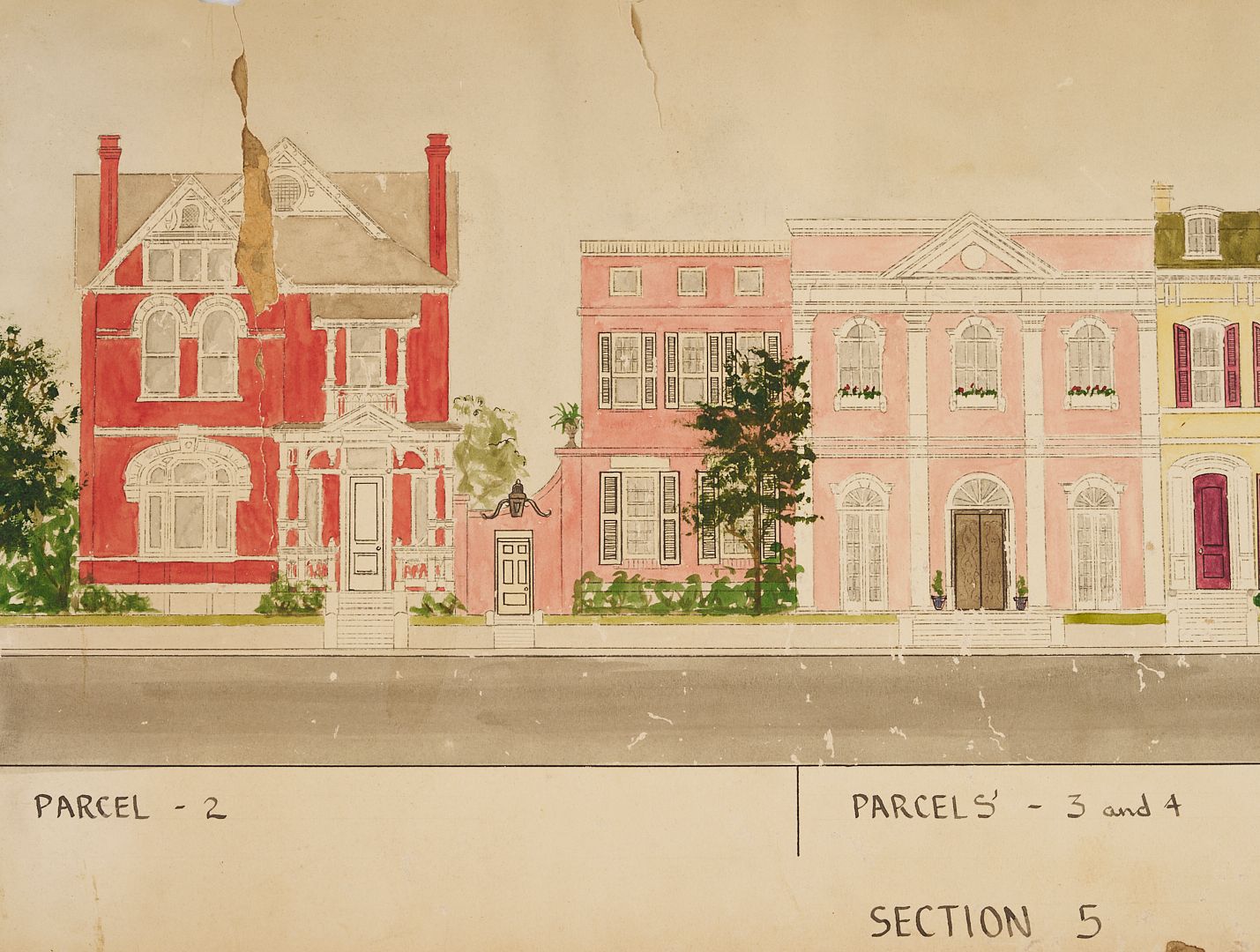
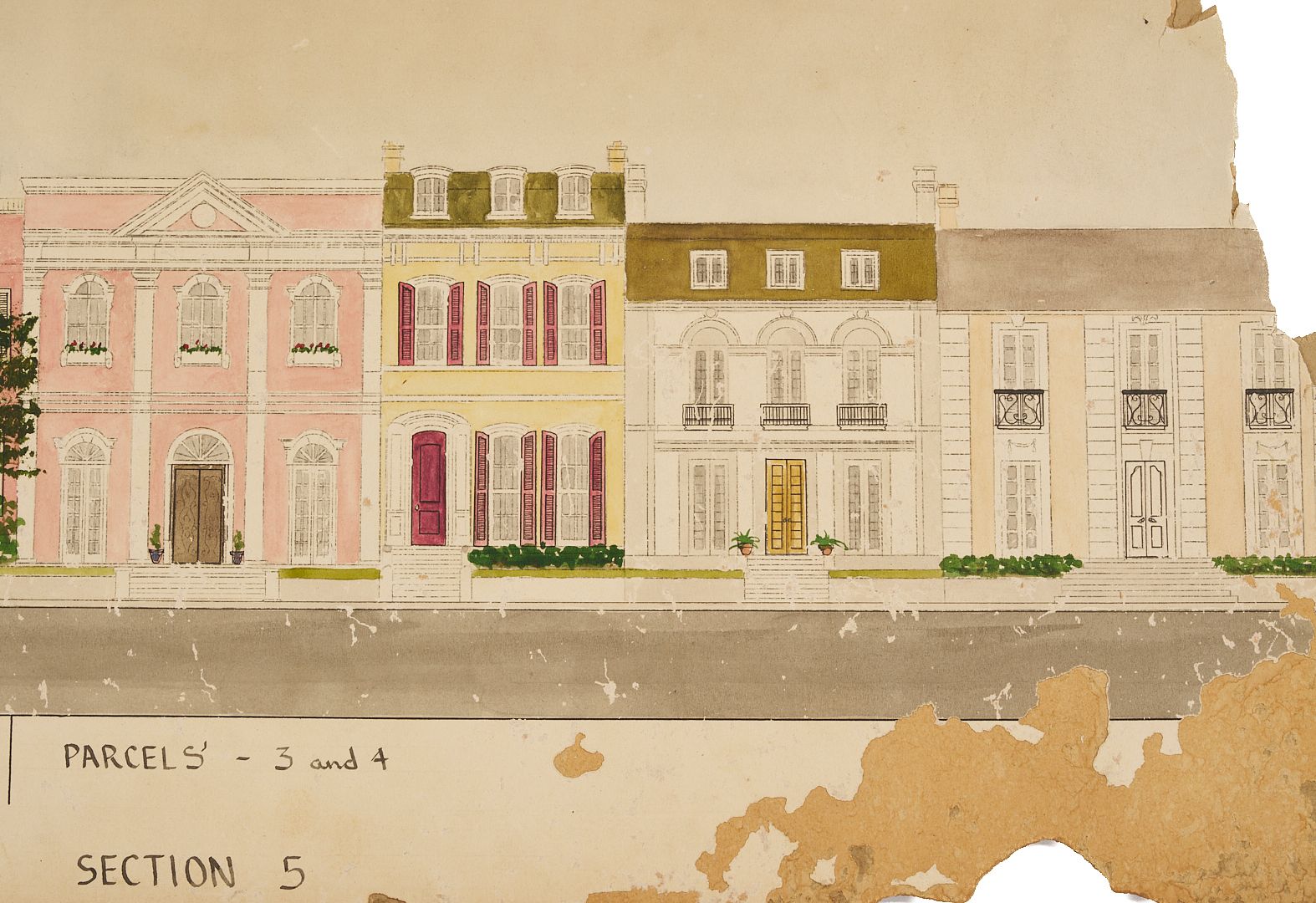
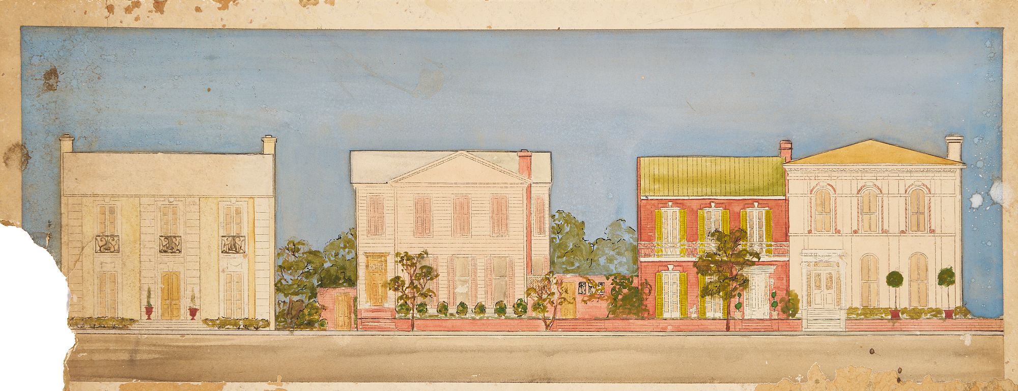
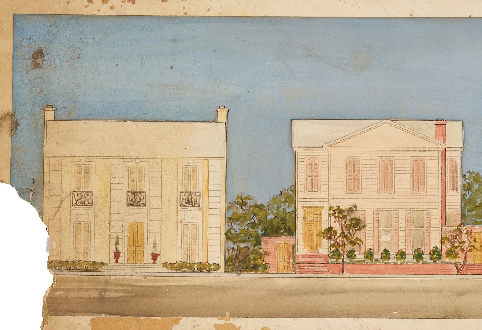
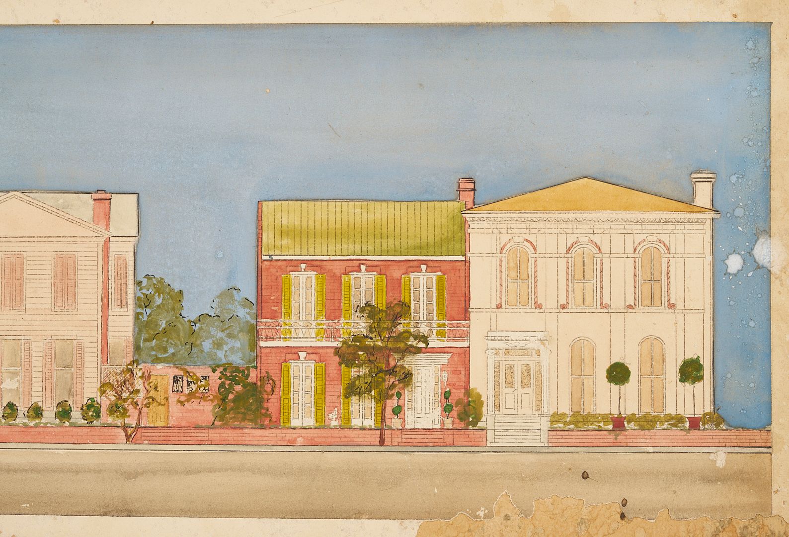
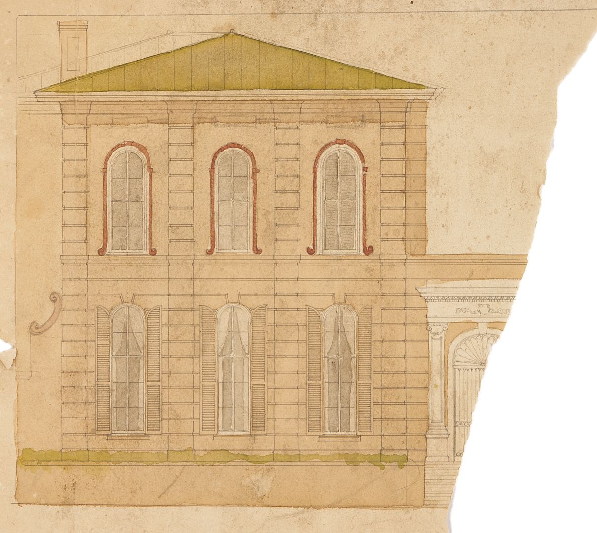
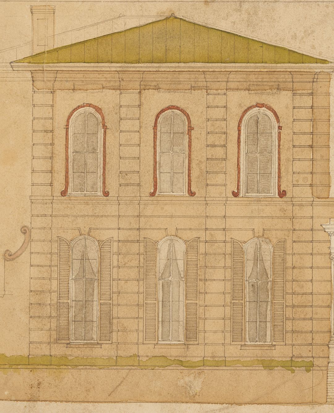
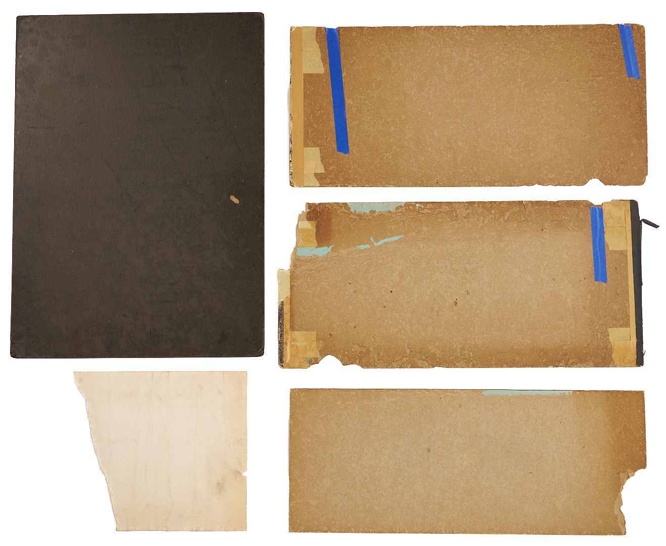
One (1) Early 20th C. Memphis plat or street map, plus Four (4) watercolor elevation drawings depicting historic houses in the area of Memphis known as Victorian Village. The map, mounted to heavy black cardstock, pictures Ward 44 and 46 including Red Acres, one of East Memphis’s earliest subdivisions, centered by Robert Galloway park to the north, and The State Board of Education Normal School, which would become the University of Memphis, bordered by Central Avenue and the Southern Railway and Southern Avenue to the South. Map 24 in x 18 in. Cardstock: 27 1/2 in x 20 in. The four watercolor elevations depict rows of Memphis Victorian Italianate and Queen Anne mansions, many now destroyed but others still standing and on the National Historic Register including the Pillow-McIntyre House and the Adams-Mollie Fontaine-Taylor house. Ranging in size from 13 in x 13 in to 11 in x 28 in .
PROVENANCE: Private Memphis collection, found in the attic of the home of the late interior designer Eldridge Wright in Victorian Village.
CONDITION: Map is adhered to backing and is toned with minor edge chipping. Watercolor elevations are in fragile condition, toned, with significant losses, chipping and staining, and tape. One elevation is over 50 percent missing with mold stains.