SOLD! for $3,690.00.
(Note: Prices realized include a buyer's premium.)
If you have items like this you wish to consign, click here for more information:
Selling with Case- Low Estimate: $400.00
- High Estimate: $500.00
- Hammer Price: $3,000.00
- Share this:
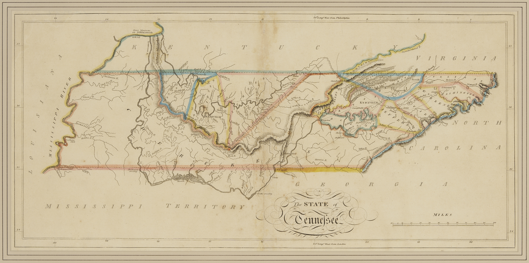
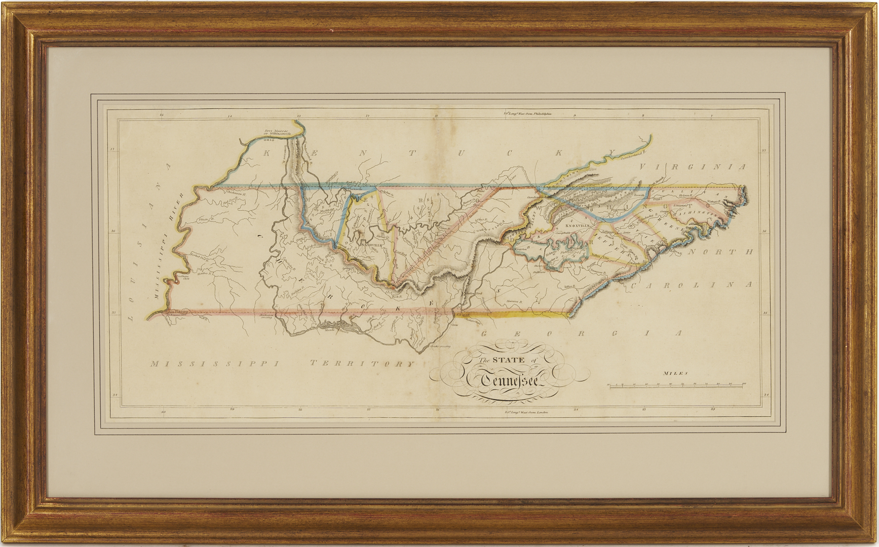
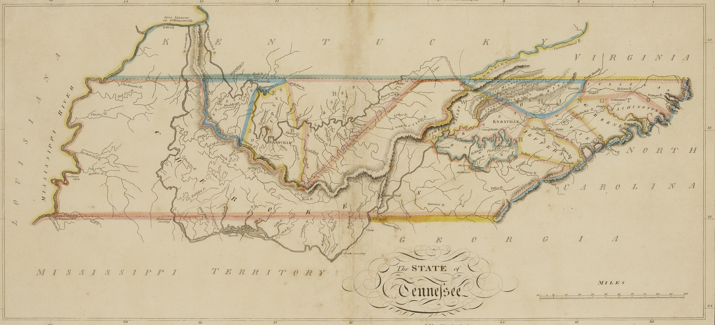
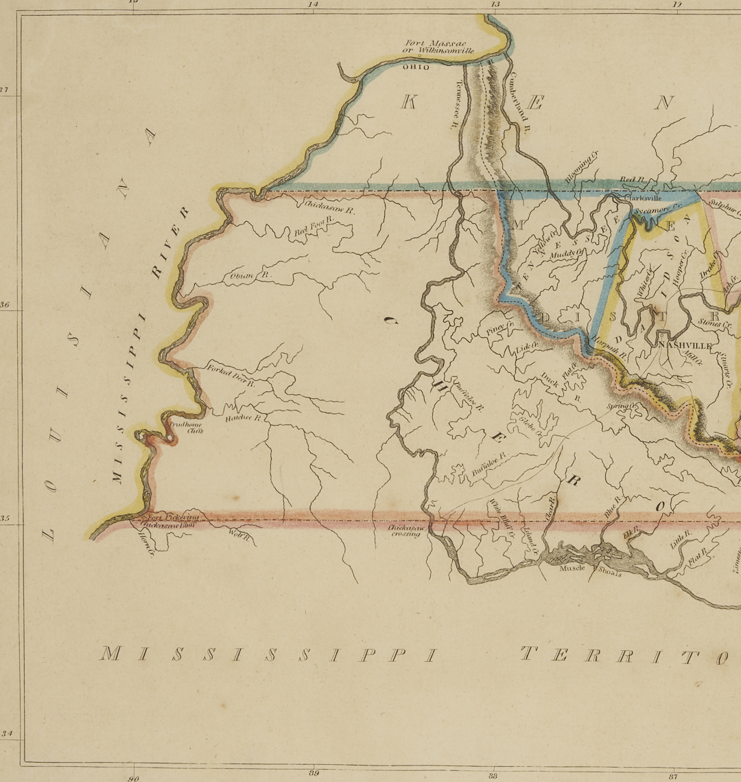
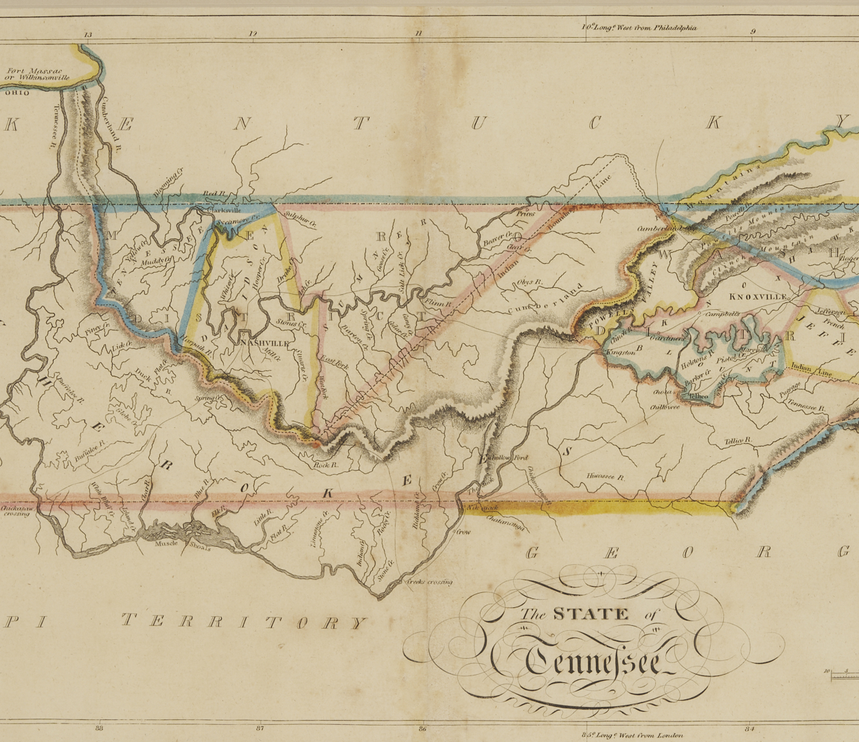
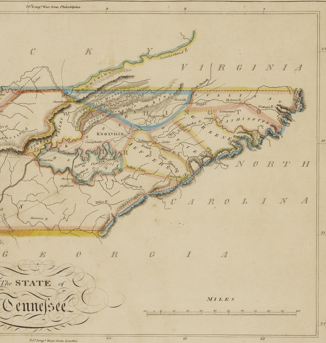
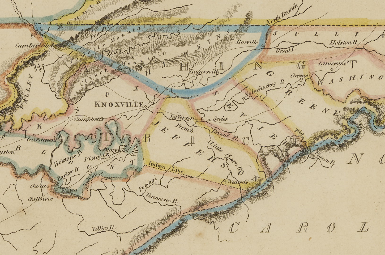
Mathew Carey (1790-1839) engraved map with hand coloring, “The State of Tennessee,” 1814. A detailed map of Tennessee with Nashville, Knoxville, counties, geographical features, and other points of interest, plus bordering territories. Also includes the Native American/”Indian” boundary line across Middle Tennessee, Fort Massac or Wilkinsonville in Western Kentucky, and other forts along the Mississippi River. From CAREY’S GENERAL ATLAS, IMPROVED AND ENLARGED (Philadelphia: Matthew Carey, 1814). Housed under glass in a giltwood frame with cream mat and French line. Sight: 9 3/4 in. H x 20 3/4 in. W. Framed: 16 3/4 in. H x 27 1/4 in. W.
PROVENANCE: The collection of Marty and David Black, Rockford, TN.
CONDITION: Overall very good condition. With central fold line, as issued, and minor staining plus foxing around fold line and a few scattered spots of foxing throughout. Not examined out of frame.