SOLD! for $826.00.
(Note: Prices realized include a buyer's premium.)
If you have items like this you wish to consign, click here for more information:
Selling with Case- Low Estimate: $400.00
- High Estimate: $450.00
- Realized: $826.00
- Share this:
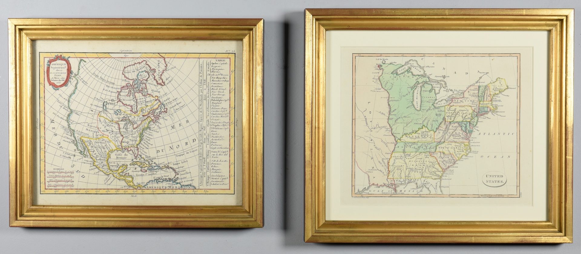
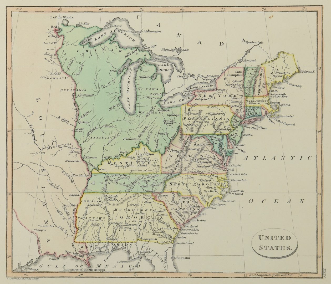
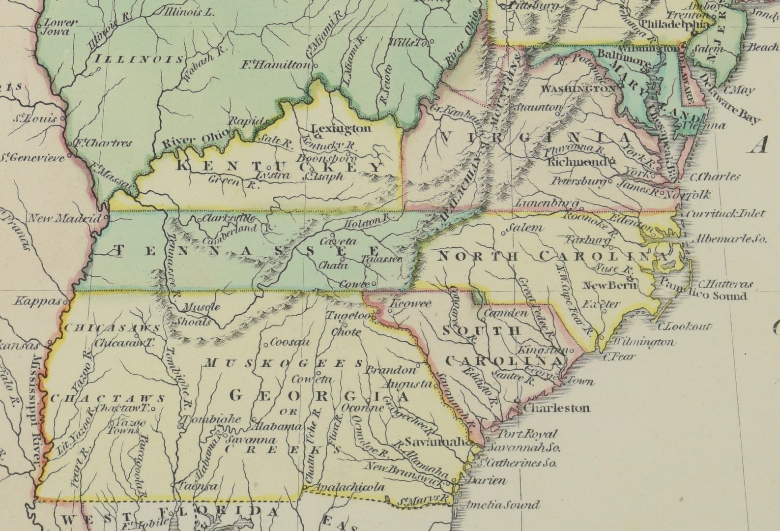
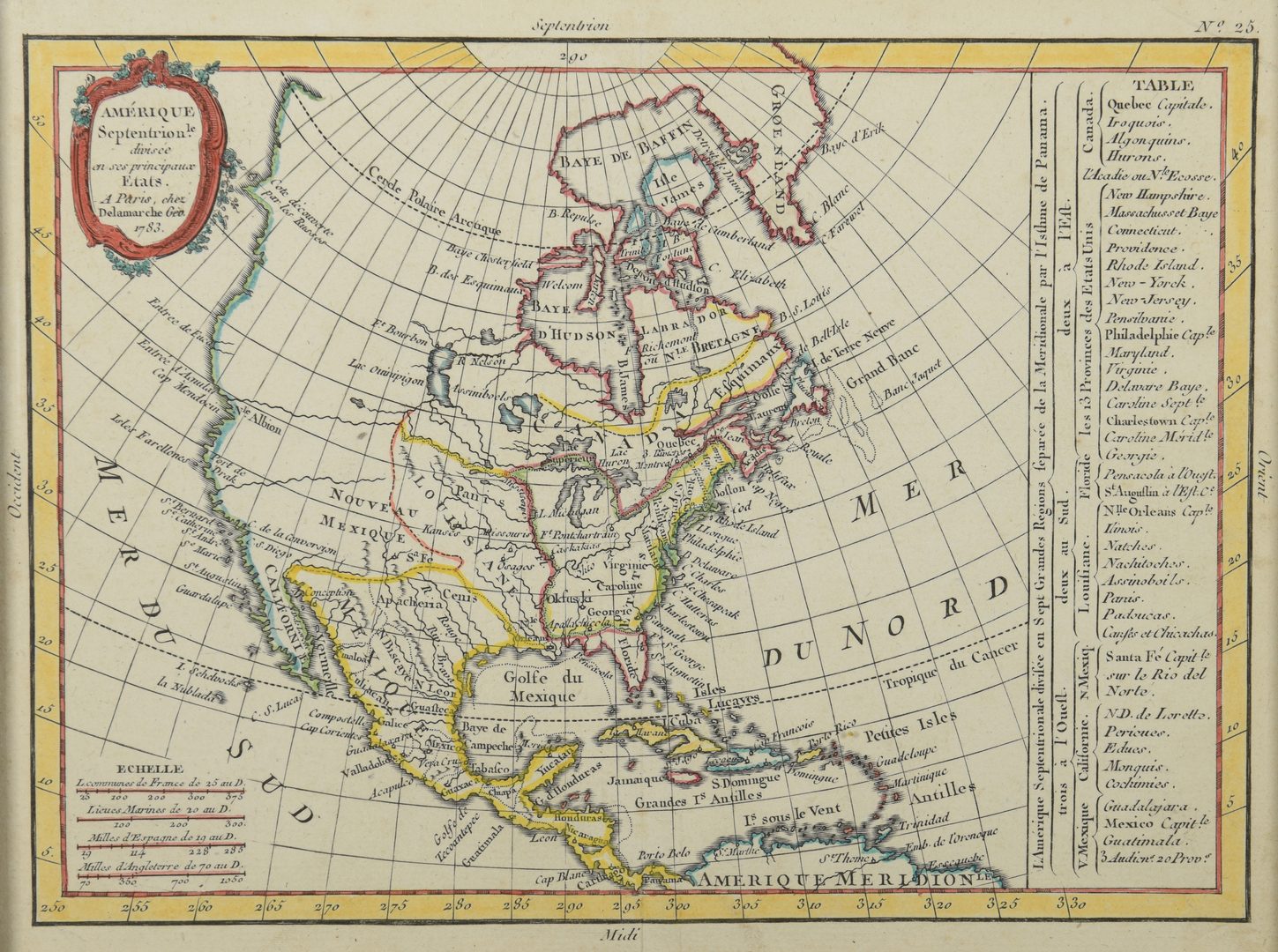
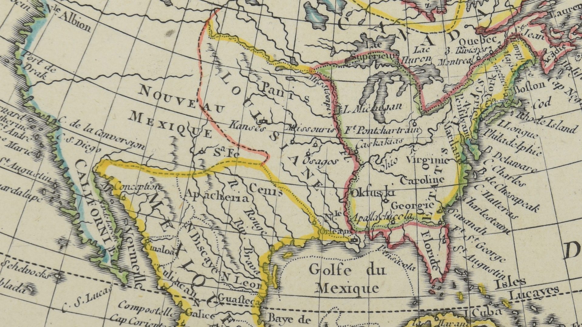
1st item: AMERIQUE SEPTENTRION LE DIVISEE EN SES PRINCIPAUX ETATS; A PARIS CHEZ DELAMARCHE GEO. 1783. French engraved and handcolored map of North America, with major American cities noted. 7 3/4" x 10 1/2" (framed to plate mark), in molded giltwood frame 12 5/8" x 10 1/2". 2nd item: Engraved and hand colored map of the Eastern United States by John Russell, late 18th century, depicting points east of the Mississippi River with all to the left titled Louisiana; Tennessee is spelled "Tennessee" and the states south of it labeled Georgia, with several Indian settlements depicted. 7 3/4" x 9 1/8" plate, 8" x 9 1/2" sight, 11 1/2" x 13 3/8" matted in molded giltwood frame. CONDITION: 1st item: light toning, some small stains at upper margin, margins likely trimmed. 2nd item: a few scattered small/light stains, mostly in and around plate marks, overall very good condition. Possibly trimmed. Both possibly deacidified. Neither has been examined out of frame.
